
|
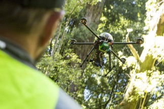
Mapping & MonitoringFocus Resource Management Group has high-level GIS expertise and have been involved in field and mobile data collection, raster and vector spatial analysis of environmental data, production of planning maps and environmental indicators, and quality assurance. We undertake field monitoring including ecosytem, coastal processes, threatened species and pest incursion monitoring. The Focus Group also integrates aerial drone mapping services for planning, and ecological and natural hazard management. High resolution aerial orthosmosaic images and 3D models of project areas provide an accurate and up-to-date monitoring tool. These aerial drone services are certificated by the Civil Aviation Authority. |